Technology
Top Five Satellite Technologies
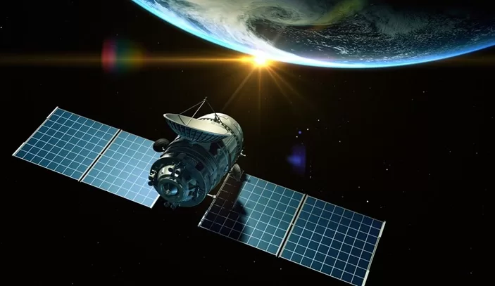
Over the past few decades, the number of satellites orbiting the Earth has reached 1700. Moreover, this industry is actively developing due to the decrease in the cost of launching spacecraft. It provides excellent opportunities to use advanced technologies in our daily lives. The most striking example is the expansion of access to the Internet. However, the range of use of satellite technologies is much broader.
Satellites In Agriculture
As agriculture is shifting toward sustainability, modern precision farm technologies help industry players to achieve this goal. They contribute to the growth of profits and efficiency of this industry and help minimize damage to the environment. For example, farmers use GIS and GPS to determine the optimal fields for planting specific crops and create maps for crop monitoring.
Satellite images are equally important. With their help, growers can monitor the condition of the soil and plants in real-time, predict yields, and identify threats promptly. The EOS Crop Monitoring digital platform offers many valuable features that make field monitoring even more convenient. Users can track crop health with the Normalized Difference Vegetation Index (NDVI). It demonstrates the amount of green biomass in plants: the higher the NDVI value, the healthier the plants are during their green stages of development.
Also, farmers can use the Scouting app. All they have to do is mark the field zone that requires inspection, based on satellite data, and assign the task to the scout. This app is excellent for weed control, pest activity analysis, and more. It allows farmers to save time on preventive measures significantly due to remote detection of the problem area. Another useful crop monitoring system option is weather analytics. With the forecast, current, and historical weather data, farmers can plan field activities, including crop rotation, more effectively by identifying local weather patterns through time and analyzing the weather threats that might occur.
Satellite IoT
Continued investment in satellite technology is driving the development of satellite IoT. It allows physical objects to exchange data, which is extremely useful in various industries. In particular, IoT is becoming more and more popular in the defense industry and the military. We use it as a backhaul to terrestrial networks to stabilize infrastructure in extreme regions. Commercial solutions appear regularly for different tasks: asset tracking, real-time remote monitoring, etc.
Advanced Ground Systems
Satellites significantly expand using ground stations — the latter use RF terminals to monitor satellites with little or no human intervention. Increasing satellite constellation numbers makes it necessary to improve their movement coordination through inter-satellite communication channels. To improve this process, specialized startups use intelligent optical and RF communications. Also, there are special decentralized communication terminals for work in transport and remote places. With all of these innovations, satellites can redistribute bandwidth autonomously to fulfill the needs of end-users. For example, satellites are suitable for decentralizing data processing near a ground station. It allows us not to use the cloud and accordingly minimizes latency and reduces network bandwidth and storage requirements. Moreover, ground stations help optimize the cost of ground controlling space flights.
Environmental Monitoring
Geostationary operational environmental satellites (GOES) are operated to monitor the environment. They provide data on the movement of clouds, wind, precipitation, water vapor, and temperature changes in the sea and land. A good example is the Landsat constellation, which includes seven objects today. Two of them are in sun-synchronous orbits; they pass over the regions at the same local time. With the help of these satellites, scientists receive multispectral images used for environmental studies, such as monitoring forest fires. They are also suitable for land and plant mapping and geological and hydrological resource studies.
5G Networks
Satellite technologies are critical for 5G network development. Now they mainly solve the “last mile” problem, covering regions where it is physically impossible to lay fiber. However, by creating a global integrated 5G network, their role will grow. Satellites can provide traffic density and reliable coverage in remote and rural areas. It is vital for operating IoT devices and maintaining contact in a moving vehicle (cars or even ships). Thus, satellite technologies in this industry are critical for the state, businesses, and ordinary users.
Today, the number of projects introducing satellite technologies in the 5G network increases. In 2021, Lockheed Martin’s space division, in collaboration with Omnispace, began developing a hybrid network to create a global 5G network. It will allow seamless switching between terrestrial and satellite networks. So, the project is important for commercial and government purposes.
Discussed trends are only a tiny part of the directions we are seeing today. Introducing satellite technologies significantly expands our capabilities. They provide practical tools to support the sustainable and efficient development of various industries, from crop monitoring systems in agriculture to navigation systems in the defense industry.


